The University Holds a Workshop on the Establishment of a New Coordinates System for Palestine
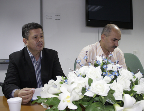
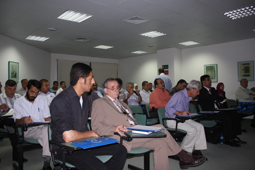
On June 16th 2010, the Engineering Association – Quds Center in cooperation with the Department of Geography at the University held a specialized workshop titled "Establishment of a New Coordinates System for Palestine" at the Conferences Hall at the Old Campus. Engineer Ahmed Adili, Chief of Engineers, Prof. Khalil Odeh, Dean of the Faculty of Arts, Engineer Muhammad Shunnar from the Engineering Association in Nablus, Dr. Ahmed Ra'fat, Head of the Geography Department, in addition to a number of engineers and experts attended the workshop.
Dr. Ra'fat welcomed the participants and mentioned that holding such workshop is of great importance, especially for Palestinian engineers. Engineer Shunnar said that the workshop aims to develop surveying work and stressed the importance of planning for joint and collaborative efforts in order to create a stable reference for engineering schemes and surveying maps. This helps avoid current errors that result from the loss of some reference points (which are English and Jordanian points). He also spoke about the importance of developing surveying work in order to enhance the technical and personal skills of the workers.
Engineer Adili on his part ensured that this cooperation between the Engineering Association and the different academic institutions, particularly An-Najah is important to achieve further progress and development on the scientific and academic levels. He also called upon the participants to continue holding similar workshops and to maintain cooperation and contact with different related institutions in Palestine such as the Palestinian Land Authority, the Ministry of Local Government, the municipalities, the different governorates and others.
Engineer Shunnar further spoke about the important role that surveying plays in facilitating engineering work and development plans. The participants also discussed other related topics such as the development of surveying in Palestine, the degree of accuracy that the surveying maps have, a proposal to create a new digital surveying map, the evaluation of the accuracy of reference points and the requirements to establish a new coordinates system for Palestine.
At the conclusion of the workshop, the participants recommended the establishment of a reference system for surveying works in Palestine.
To access the workshop's gallery you can refer to the this link


